HISTORIX Vintage 1896 Idaho State Map - and similar items


Free Shipping
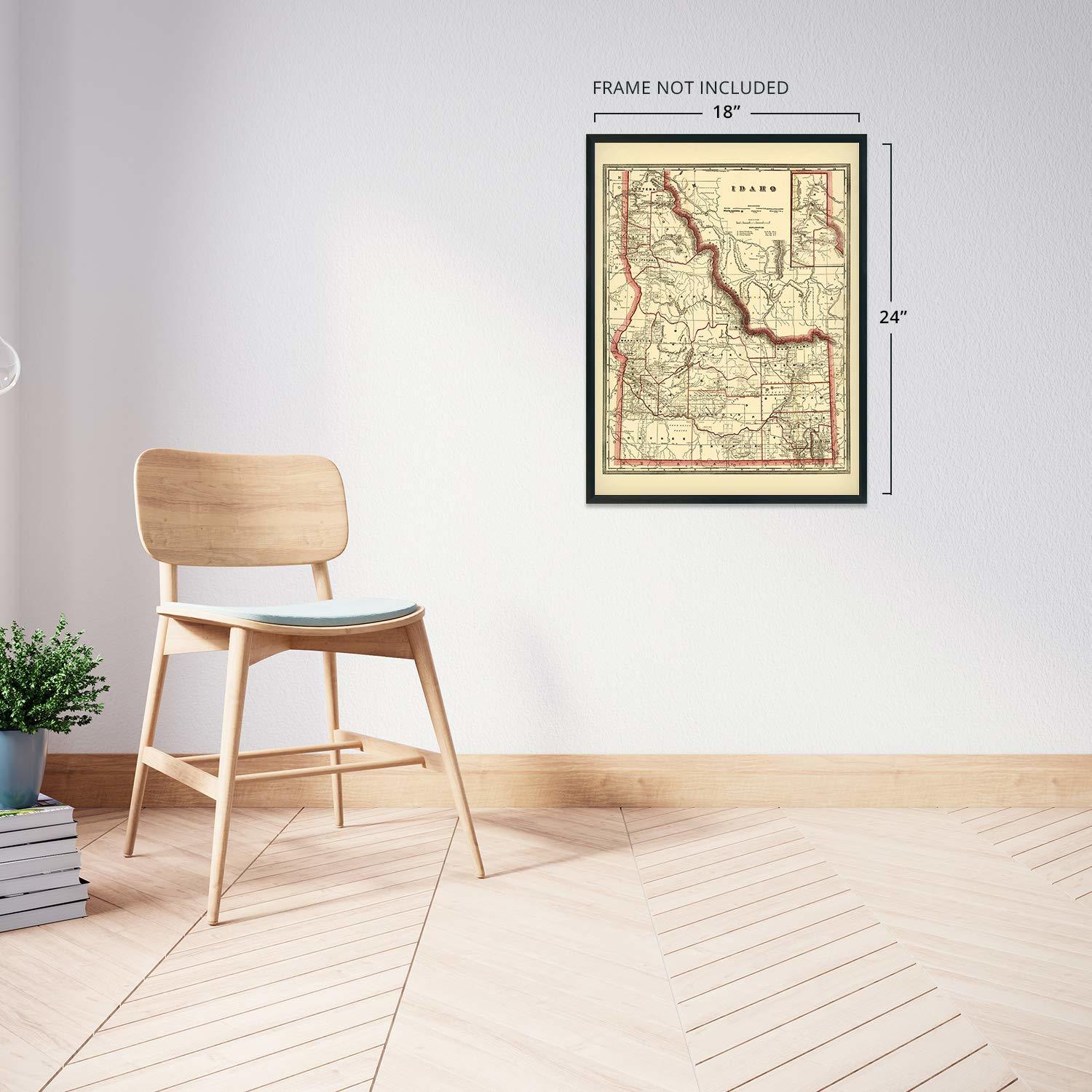
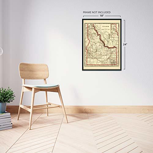
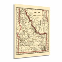
HISTORIX Vintage 1896 Idaho State Map - 18x24 Inch Vintage Map of Idaho Wall Art
$39.99 - $54.99
View full item details »

Shipping options
Seller handling time is 2 business days Details
FREE via to United States
Return policy
Full refund available for DOAs
Details
Purchase protection
Payment options
PayPal accepted
PayPal Credit accepted
Venmo accepted
PayPal, MasterCard, Visa, Discover, and American Express accepted
Maestro accepted
Amazon Pay accepted
Nuvei accepted
View full item details »
Shipping options
Seller handling time is 2 business days Details
FREE via to United States
Return policy
Full refund available for DOAs
Details
Purchase protection
Payment options
PayPal accepted
PayPal Credit accepted
Venmo accepted
PayPal, MasterCard, Visa, Discover, and American Express accepted
Maestro accepted
Amazon Pay accepted
Nuvei accepted
Item traits
| Category: | |
|---|---|
| Quantity Available: |
16 in stock |
| Condition: |
New |
| ASIN: |
B08JK2PL8T |
| Item Name: |
HISTORIX 1896 Cram's township and railroad map of Idaho |
| manufacturer: |
HISTORIX |
| Item Type Keyword: |
prints |
| Product Site Launch Date: |
2020-09-20T02:04:24.446Z |
| Brand: |
HISTORIX |
| Unspsc Code: |
52140000 |
| sizes: |
Listing details
| Seller policies: | |
|---|---|
| Shipping discount: |
Seller pays shipping for this item. |
| Posted for sale: |
More than a week ago |
| Item number: |
1743605997 |
Item description
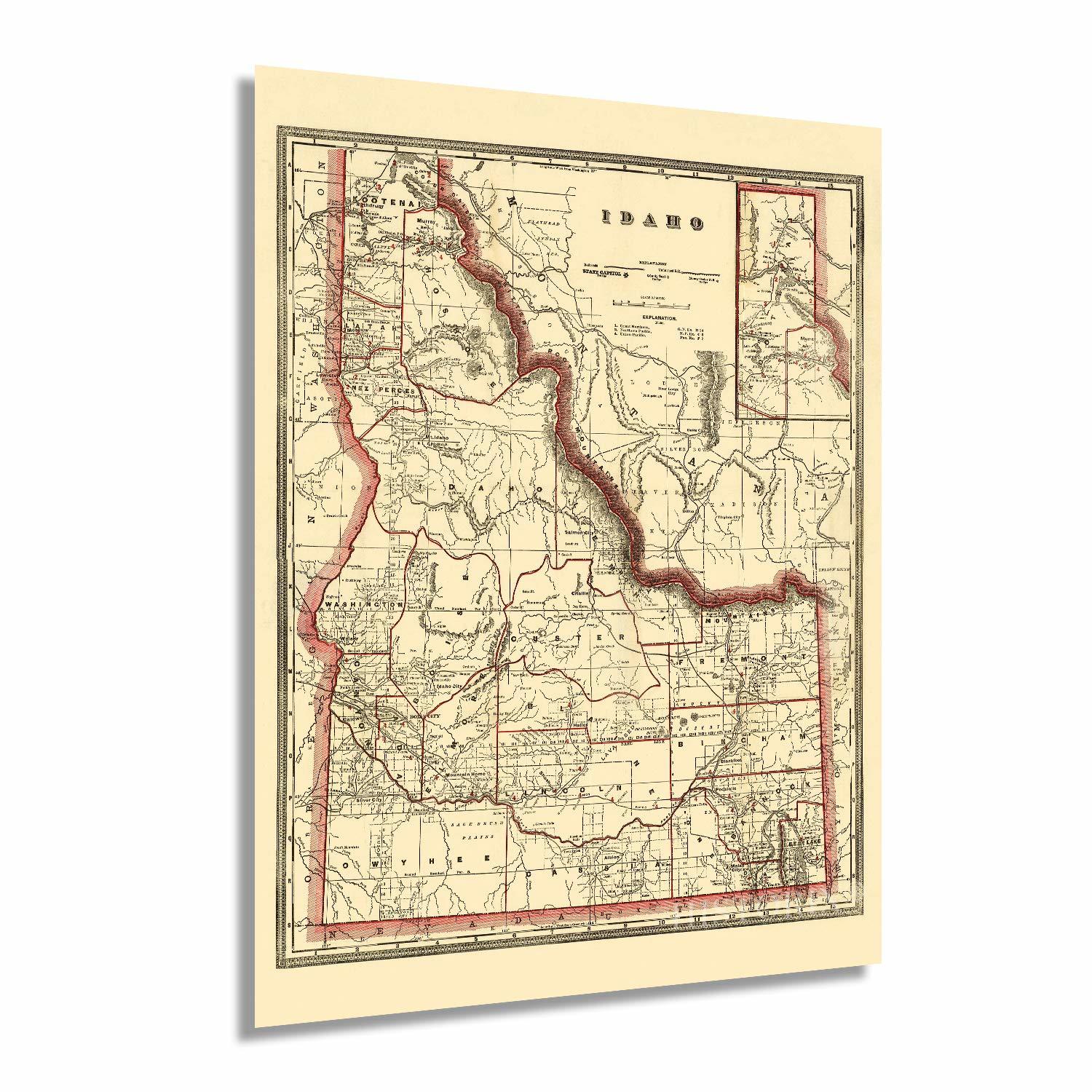
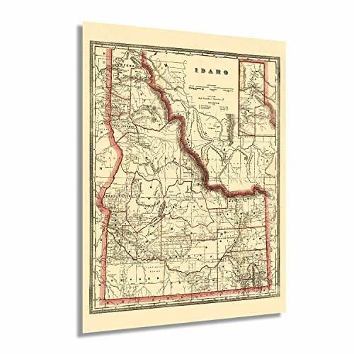
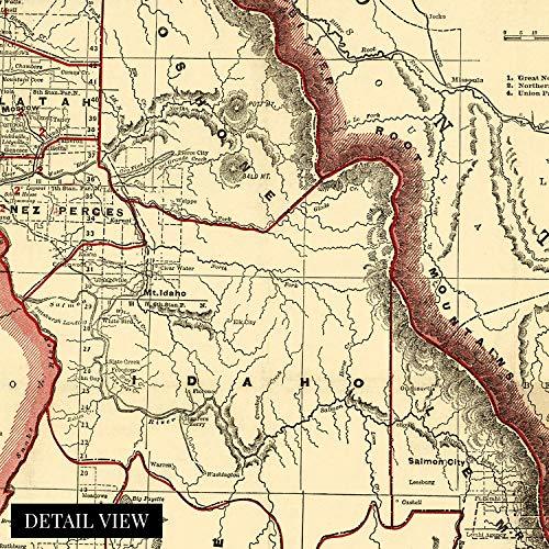
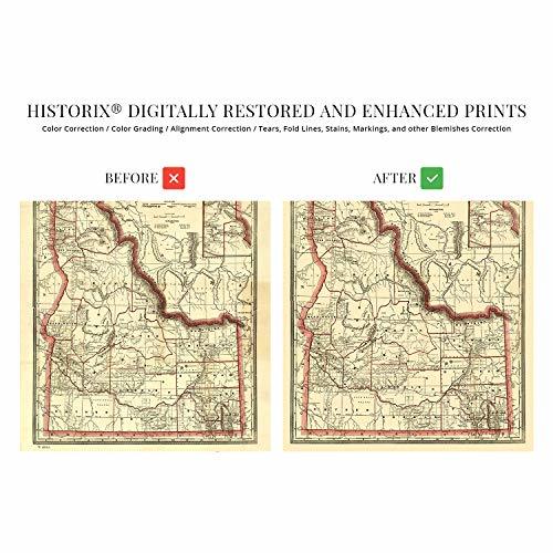
Published in 1896 by prominent and prolific American mapmaker George Franklin Cram, this illustration depicts Idaho six years after achieving statehood and in a period of considerable growth and transition. Cram was the first American cartographer to publish a world atlas, and his works remain some of the most accurate and unique productions from the late 19th century. The population of the state had doubled since achieving statehood, and its economy was transforming.
Idaho had long been a stopping point for eager prospectors headed west in search of fortunes in mining. By the late 19th century, it had seen the establishment of numerous towns and cities enable by the expanding national railroad systems. This map shows the routes and planned lines for the state, which allowed the export of silver, the primary driver of Idaho’s economy at the time. The region had also been defined by the fur trade of the early 19th century, and agriculture also allowed expansion in the state.
The state had been explored during the Lewis and Clark expedition in the early 1800s, and French fur traders established many towns in the 1700s. By the time of this publication, Idaho recognized women’s suffrage, and the state was experiencing a massive influx of Irish, German, Basque, African, and Chinese immigrants. The end of the 19th century saw Idaho moving into a more refined and modern era. The distinctive aesthetic of this piece of American cartographical history immediately transports the viewer back in time.
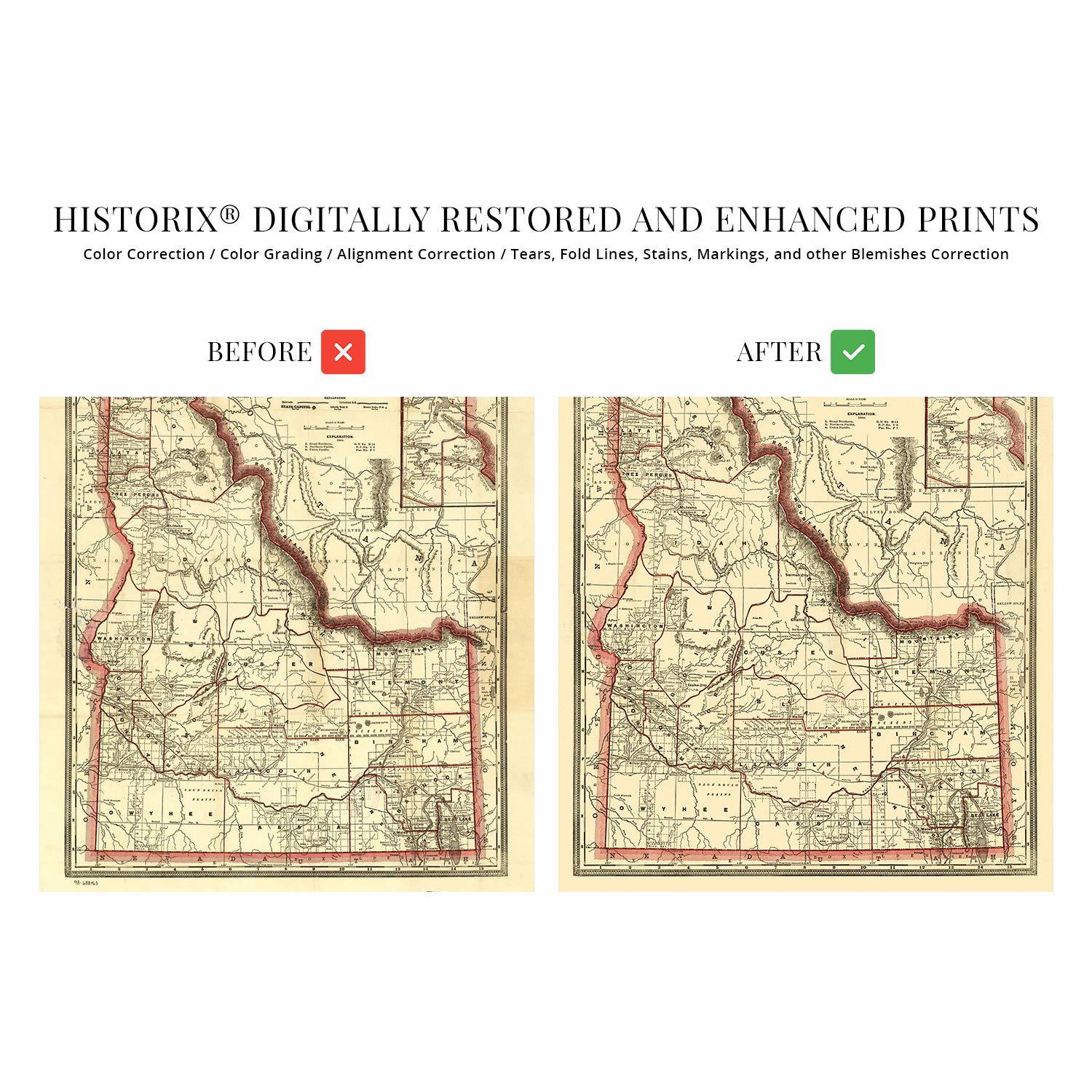
Our museum quality giclee print comes printed with archival ink on premium heavyweight matte paper. Shipped in a sturdy cardboard tube your print will arrive ready to be framed. This eye-catching vintage map reproduction print makes the perfect gift for anyone that loves history and imagery.
Loading
This item has been added to your cart
 HISTORIX Vintage 1896 Idaho State Map - 18x24 Inch Vintage Map of Idaho Wall Art added to cart.
16 available in stock
HISTORIX Vintage 1896 Idaho State Map - 18x24 Inch Vintage Map of Idaho Wall Art added to cart.
16 available in stock
View Cart or continue shopping.
 Please wait while we finish adding this item to your cart.
Get an item reminder
We'll email you a link to your item now and follow up with a single reminder (if you'd like one). That's it! No spam, no hassle.
Already have an account?
Log in and add this item to your wish list.